 Warner Robins
  Wantagh
  Bethel
  Misty Hill Farm
  United States
  Wakonda Beach (R33) Airport
  Wilmington
  Poland
  Miami International Airport
Huey P Long Bridge on the map, Metairie, United States
Photo

Where is located Huey P Long Bridge
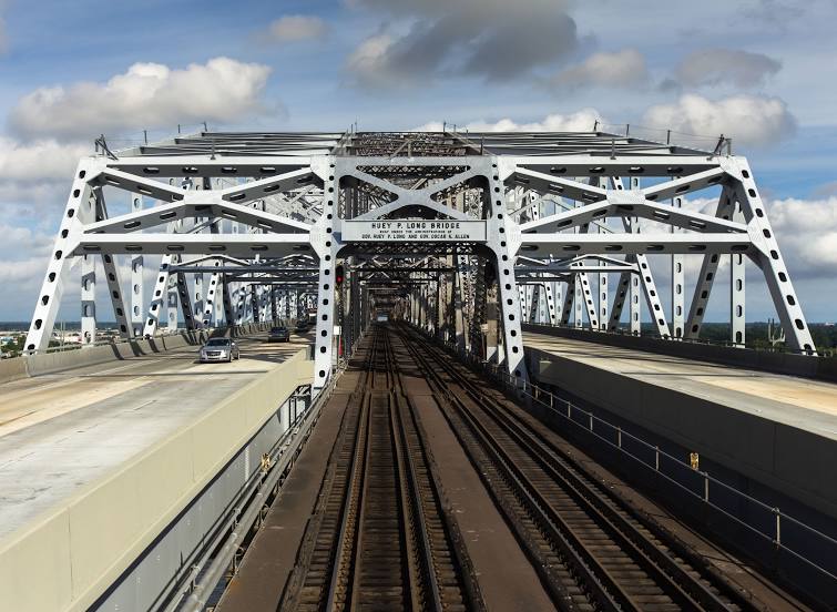
Huey P Long Bridge — local attraction, which is located at Bridge City, LA 70094, United States and belongs to the category — cantilever bridge. Average visitor rating for this place — 4.3 (according to 106 ratings, information from open sources and relevant for 2022).
Exact location — Huey P Long Bridge, marked on the map with a red marker.
You can get directions to Huey P Long Bridge on the map from your location.
What else is interesting in Metairie? You can see all the sights if you go to the city page.
Coordinates
Huey P Long Bridge, United States coordinates in decimal format: latitude — 29.94394704683169, longitude — -90.16891207533787. When converted to degrees, minutes, seconds Huey P Long Bridge has the following coordinates: 29°56′38.21 north latitude and -90°10′8.08 east longitude.
Nearby cities
The largest cities that are located nearby:
- New Orleans — 9 km
- Baton Rouge — 108 km
- Lafayette — 180 km
- Mobile — 216 km
- Jackson — 256 km
- Beaumont — 380 km
- Shreveport — 437 km
- Montgomery — 446 km
- Birmingham — 498 km
- Houston — 501 km
- Little Rock — 561 km
- Tallahassee — 562 km
- Memphis — 571 km
- Huntsville — 617 km
- Mesquite — 674 km
- Atlanta — 674 km
- Waco — 681 km
- Garland — 684 km
- Dallas — 691 km
Distance to the capital
Distance to the capital (Washington) is about — 1561 km.
